SERVICES
Real Estate
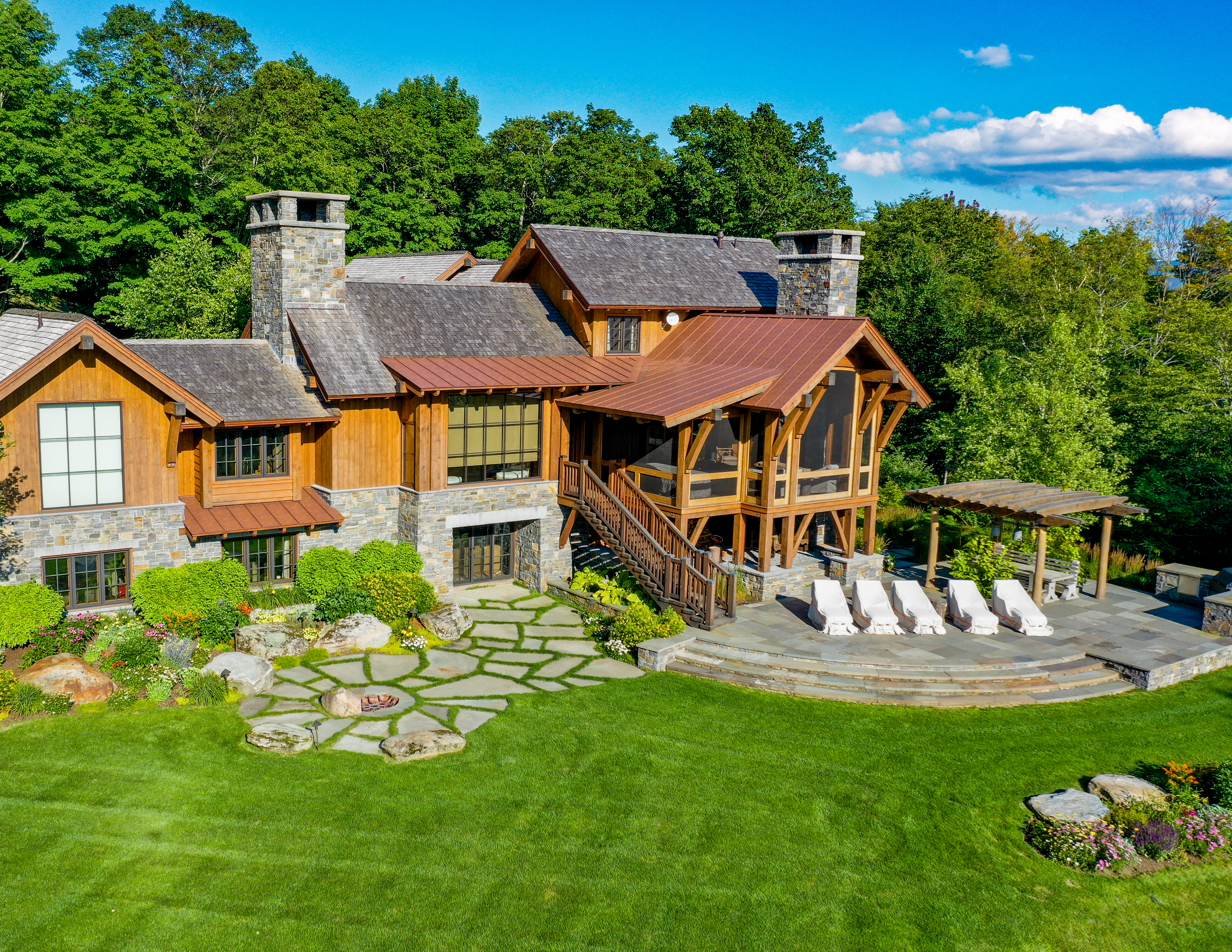
Drone Photography has drastically changed real estate marketing. Well-planned, professionally-edited aerial photos generate a sense of awe and interest in the properties that you simply can’t get from traditional ground-based photography.
Aerial shots of a property are no longer reserved for super high-end properties. Drones have dramatically reduced the price of these unique perspectives, so take advantage of the opportunity to provide your potential buyer with a bird’s-eye view of their future home.
Some of the most important features of a property include the quality of landscaping, walking paths, pools, backyards, and gardens. Drone images highlight all of these in a compelling, dramatic way.
Drones also provide special perspective, showing not only the entire property, but also nearby amenities such as schools, playgrounds, parks, stores, and surrounding scenery. The whole neighborhood is captured, creating an emotional connection to the area.
Provide your potential buyer with 360 aerial views of the entire property and land, and watch how quickly your listings will sell!
Inspections
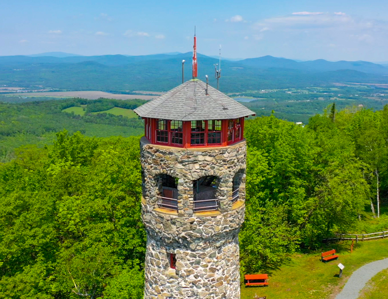
Are you looking for a safe, fast, and easy way to collect visual data on hard-to-reach places?
By using a drone to evaluate the condition of an asset, you avoid having to place yourself in a dangerous situation. Instead of climbing several stories in the air on a tower to take a close look at a guy-wire, or scaling scaffolding to view construction progress, why not send a drone instead?
Here are some examples of the almost endless applications for drones:
- Scheduled commercial inspection and construction monitoring
- Insurance inspections
- Home and roof inspections
- Chimney and steeple inspections
- Utility inspections
- Water system inspections
- Solar farm inspections
- Wind farm inspections
- Railroad inspections
- Bridge inspections
3D Modelling
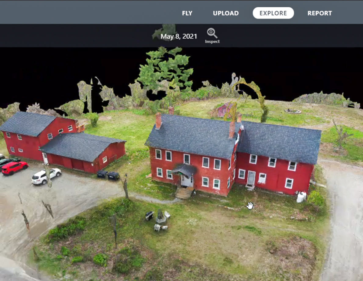
We use advanced software to combine data from hundreds of images to produce accurate 3D models of construction sites, buildings, and properties.
3D Models can be used to measure volume and distance, calculate area, and evaluate elevation profiles. This not only speeds up the design process, but also enables designers and architects to experiment with different ideas, identify potential design problems, and evaluate the condition of the target area or object.
Orthomosaic Mapping
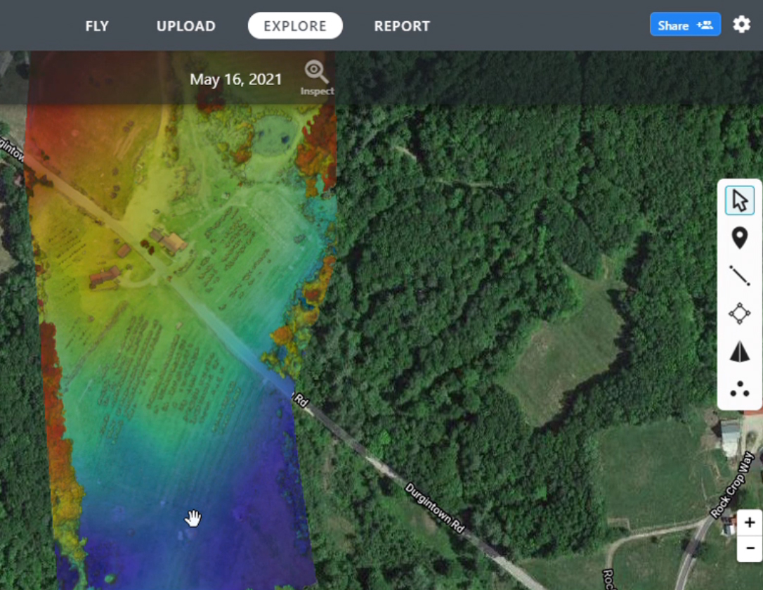
Create maps of huge properties of hundreds of acres with accuracy and detail. These maps can be used to:
- Take measurements for use in construction and property development
- Create an interactive way for property buyers to explore the property and surrounding area
- Assess the damage from natural disasters
- Track crops yields from year to year and evaluate crop health
Weddings
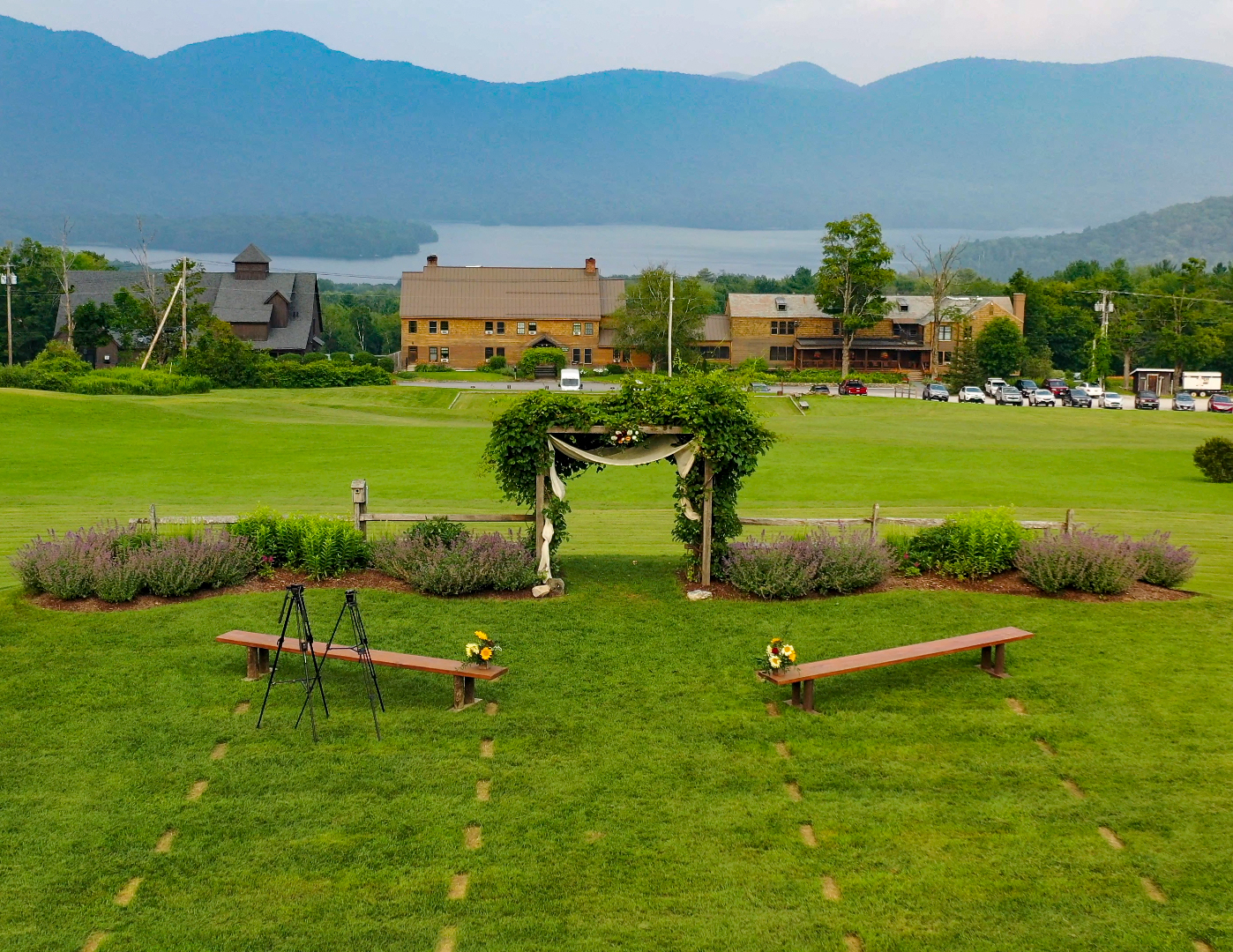
Capture your nuptials in a dynamic, exciting, and beautiful way. Drone photography provides a unique and special perspective of your wedding day. Never forget the magic – highlight the events and the splendor of the venue, whether it be on a majestic waterfront, a rugged mountaintop, or a sprawling estate.
